
US Public Lands
10K+
App information
- Name:
- US Public Lands
- Category:
- Travel & Local
- Safety:
- Not verified
- Price:
- 3.99
- Developer:
- Two Steps Beyond LLC
- Download:
- 10K+
Screenshots
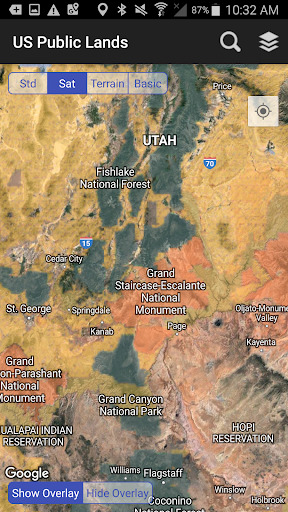
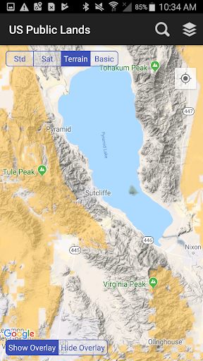
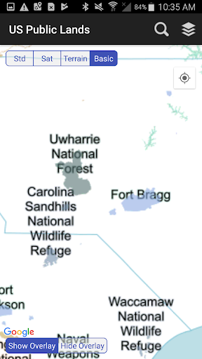
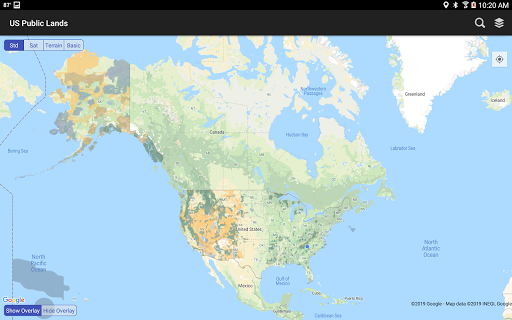
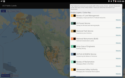
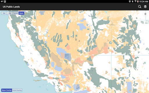
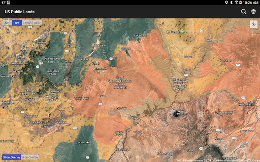



About
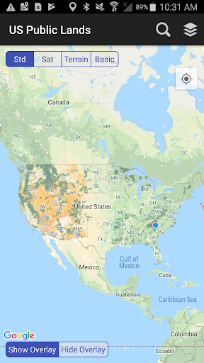
US Public Lands displays federal land boundaries offline, aiding outdoor enthusiasts and researchers. It helps users identify land ownership and agency management, like knowing if you are on BLM land while hiking. This allows informed decisions about land use and activities in specific areas.
What Stands Out
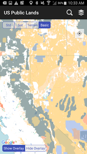
- Displays offline maps of US federal land boundaries administered by agencies like BLM, Forest Service, and NPS.
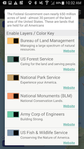
- Allows users to toggle specific agency layers on/off to create customized map views.
- Provides links to agency websites for detailed land use rules, permits, and fees.
- Includes an on-device base map with public land labels for offline use.
Things to Consider
The app relies on USGS data, which may have evolving accuracy and resolution. It is an overview tool and should not be the sole source for determining land status; always verify with local field offices. No information on paid features or APK availability was provided.
Useful Tips
- Select the 'Basic' base map layer to see public land labels when offline.
- Use the 'Layers' icon to toggle specific agency land boundaries on or off.
- Tap the 'Locate Me' icon with GPS enabled to see your current location on federal land.
- Enable satellite view to help scout potential dispersed camping areas within public lands.
More Apps
 ビックカメラShopping★ 5.01M+
 손목닥터9988Health & Fitness★ 5.01M+
 ScottishPower - Your EnergyHouse & Home★ 5.01M+
 調整さんProductivity★ 5.0100K+
 PrestaCOPFinance★ 5.050K+
 YouVersion BibleBooks & Reference★ 4.9100M+
 Question.AI - Chatbot&Math AIEducation★ 4.95M+
 Centi PRO - Currency ConverterFinance★ 4.91K+
 Word Search ExplorerWord★ 4.95M+
 Collage Maker | Photo EditorPhotography★ 4.9100M+
 Panera BreadFood & Drink★ 4.95M+
 StardustTV - Movies & DramasEntertainment★ 4.9500K+
 Waymo OneMaps & Navigation★ 4.91M+
 PopeyesFood & Drink★ 4.95M+
 CHANI: Your Astrology GuideLifestyle★ 4.950K+
 Al Quran (Tafsir & by Word)Books & Reference★ 4.95M+
 ColorNote Notepad NotesProductivity★ 4.9100M+
 SpeedwayFood & Drink★ 4.95M+
 Bubble Level - Level ToolTools★ 4.91M+
 MPCTravel & Local★ 4.91M+
 Marriott BonvoyTravel & Local★ 4.910M+
 ArriveCANTravel & Local★ 4.95M+
 LimeTravel & Local★ 4.910M+
 GIF Sticker & WAstickerSocial★ 4.95M+
 漢字辞典Books & Reference★ 4.9500K+
 ChewyShopping★ 4.910M+
 EventbriteEntertainment★ 4.910M+
 Vita MahjongBoard★ 4.9100M+
 NPRNews & Magazines★ 4.85M+
 7-ElevenFood & Drink★ 4.810M+